To build the data;
To give consultation, service in the fields of surveying and cartography, management of land and environment. To test the surveying and cartography machinery, equipment;
To establish the planning, the land of land use;
To study the application and to transfer the new progress in the science, technique and technology in the fields of surveying and cartography, the land and environment management;
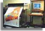
To scan document of large size and high accuracy.
To digitalize the map.
To design, to build, to give the consultation in the establishment of the Land Information System (LIS), the Geographic Information system (GIS) in service of the branches of environment, underground water, electricity, communication, navigation
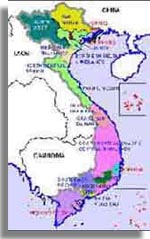
for different provinces and cities.
To install the applied software for the work of surveying, establishing maps
To study, to design, to build, and to process the software. To design, to build, to maintain the system of computer network. To give consultation training in the field of Information technology